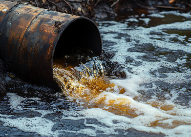
Water/Wastewater
What Are Ocean Observatories?
Sep 15 2016
Monitoring wildlife above sea is tricky. Scientists have to use special cameras or expeditions to track the breeding progress and biodiversity in the wild. Under the sea it gets even trickier. Leaving a number of small cameras is problematic because they’re harder to access and such small devices would struggle with connectivity underwater. That’s why scientists have set up ‘ocean observatories’. Read on to find out more about this fascinating innovation.
A wide ranging network
The Ocean Observatory Initiative (OOI) is essentially a data collection project. Funded by the National Science Foundation, it’s a network of platforms and sensors that measure all aspects of the world’s oceans. From the chemical and biological properties to the geological processes and changes, the OOI aims to give scientists a better understanding of all things aquatic.
It all starts with the cabled seafloor technology, which allows up to 10kW/hour to be sent to the sea terminals from their on-land infrastructure. These cables are also used for communications though. With a bandwidth of 10 gig per second, the cables provide a two-way data transfer system, allowing the technology to be controlled and maintained from land.
Mobile platforms
Given the complexity of the environment, the here are a few different types of platforms being used by the OOI:
- Gliders are small buoyant platforms that allow sensors to be moved around the water. Their buoyance ‘bladder’ can take in or release liquid to alter depth, with GPS installed to receive movement commands and transmit location information.
- Autonomous Underwater Vehicles (AUVs) are bigger versions of gliders, capable of travelling longer distances and high resolution mapping.
- Profilers are vehicles that carry instruments through the water, allowing them to sample several different parameters like gas and heat transfer, and seafloor content.
- Moorings are the means by which scientists deploy the sensors. They can be carried by profilers, attached upwards from anchors or hung down from a flotation sphere.
Data gathered by the under-water network can be used to answer ‘critical science-driven questions’. It means scientists ocean management and biodiversity issues will have a far greater pool of information.
Water quality
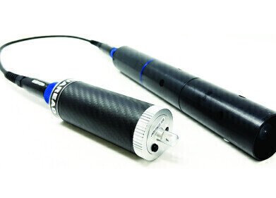
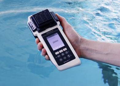
While the observatories take the limelight in this case, the actual sensors and water analysis methods used by scientists are pretty impressive themselves. Monitoring water requires some innovative equipment. Aquaread is one such tool, which was used by researchers from the University of Brighton. They wanted to monitor river water quality in the Arctic. They are treating the pristine water quality of these rivers as a model, with an aim to create guidelines and improve water quality elsewhere. Find out more about the project in ‘Water Quality Research in the Arctic’.

Digital Edition
AET 28.4 Oct/Nov 2024
November 2024
Gas Detection - Go from lagging to leading: why investment in gas detection makes sense Air Monitoring - Swirl and vortex meters will aid green hydrogen production - Beyond the Stack: Emi...
View all digital editions


.jpg)

Events
Dec 02 2024 London, UK
Dec 03 2024 Dusseldorf, Germany
Dec 11 2024 Shanghai, China
Jan 12 2025 Abu Dhabi, UAE
Jan 14 2025 Abu Dhabi, UAE